
Surveying & Mapping
Tamacdose Nigeria Limited provides professional Surveying and Mapping services that deliver accurate spatial data essential for engineering, construction, infrastructure development, environmental management, and land administration projects.
Our experienced survey professionals utilize modern surveying equipment and advanced geospatial technologies to provide reliable measurements, detailed mapping, and precise positioning information that support informed decision-making throughout the project lifecycle.
From preliminary site assessments to large-scale infrastructure developments, our surveying solutions help clients reduce risks, improve project efficiency, and ensure successful project execution.
Our Surveying & Mapping Services
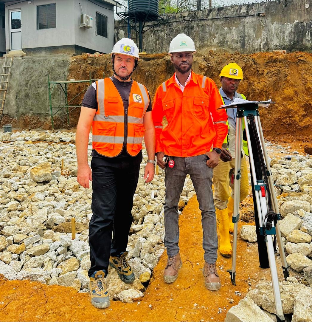
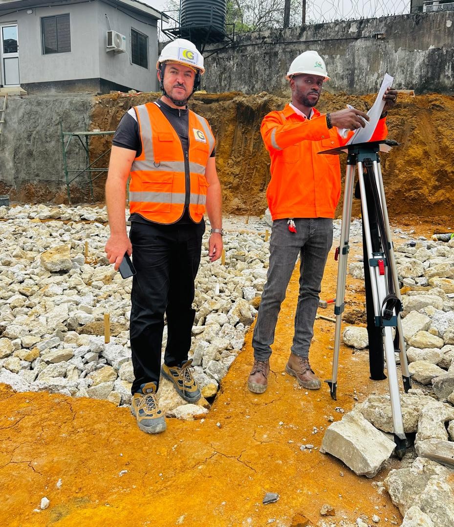
Topographic Survey
We conduct detailed topographic surveys to capture natural and man-made features, elevations, contours, and site characteristics required for engineering design and project planning.
Route Survey
Our route surveys support the planning and development of roads, pipelines, transmission lines, railways, and other linear infrastructure projects.
Cadastral Survey
We provide land boundary determination, property demarcation, and land documentation services to support ownership verification and land administration.
Engineering Survey
Precise measurements and positioning services for construction projects, ensuring structures are built according to approved designs and specifications.
As-Built Survey
We document completed projects and infrastructure to verify construction accuracy and provide updated records for future maintenance and development.
Control Survey
Establishment of survey control points and reference systems to support engineering, mapping, and construction activities.
Hydrographic & Bathymetric Survey
Surveying of rivers, lakes, waterways, and coastal environments to determine underwater topography, depths, and seabed conditions.
Utility Mapping
Detection and mapping of underground utilities, pipelines, cables, and infrastructure before construction and excavation activities.
Mapping Services
Digital Mapping
Development of accurate digital maps for engineering, planning, environmental, and asset management applications.
Geographic Information Systems (GIS)
Collection, analysis, and management of spatial data to support planning, decision-making, and resource management.
Site Mapping
Comprehensive mapping of project sites, facilities, and infrastructure corridors.
Infrastructure Mapping
Documentation and visualization of roads, utilities, facilities, and engineering assets.
Land Use Mapping
Assessment and mapping of land use patterns to support development and environmental planning.
Why Choose Us
Our Commitment
At Tamacdose Nigeria Limited, we are committed to providing innovative engineering solutions that create lasting value. Through technical expertise, quality service delivery, and a dedication to safety and sustainability, we help our clients overcome challenges and achieve project success.
We continuously strive to improve our capabilities, adopt emerging technologies, and maintain the highest standards of professionalism in every aspect of our operations.
Ready to Start Your Project?
Partner with Tamacdose Nigeria Limited for professional geotechnical engineering services that provide the foundation for successful project delivery