Geophysical Engineering
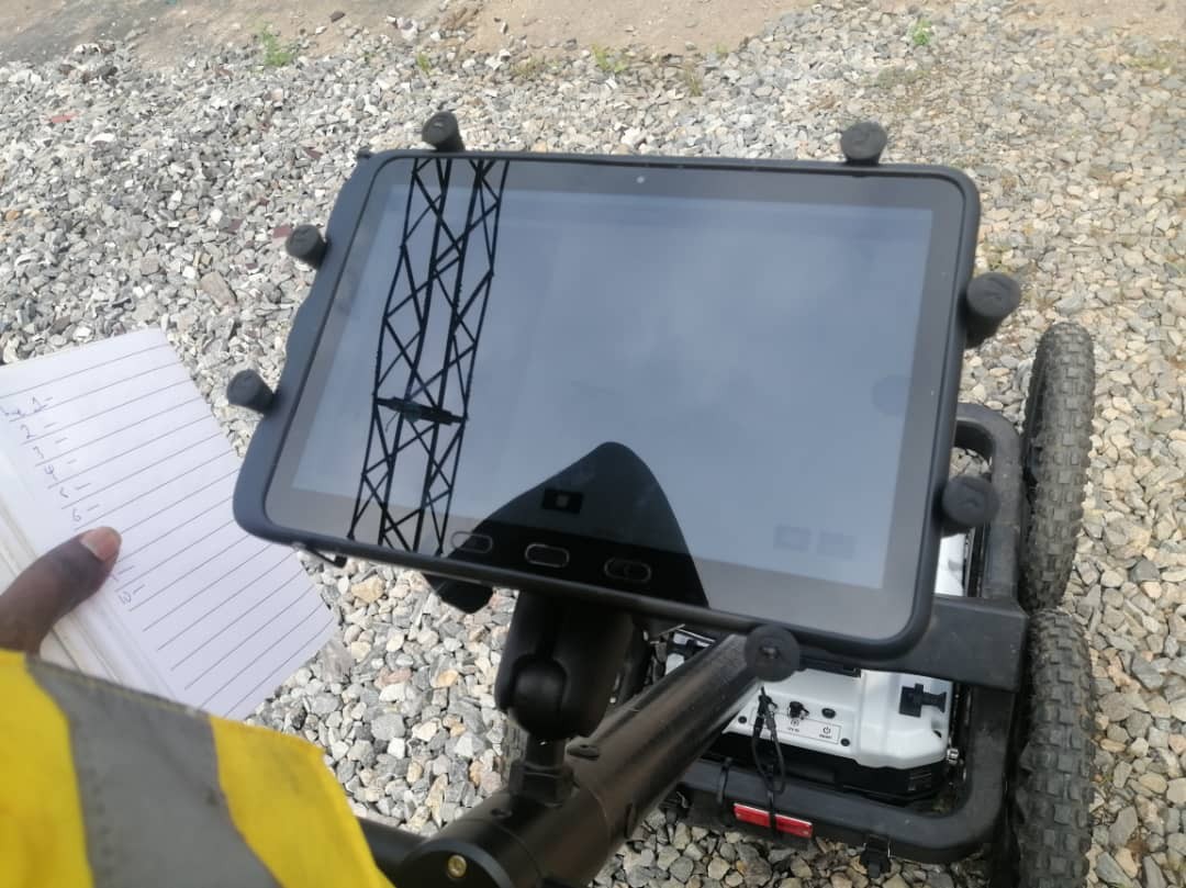
Tamacdose Nigeria Limited provides professional Geophysical Services with advance subsurface investigation solutions using modern, non-invasive techniques. We specialize in electrical resistivity imaging, seismic surveys, and ground penetrating radar (GPR) to accurately map soil and rock conditions beneath the surface.
These methods enable us to identify subsurface anomalies, determine soil stratification, locate groundwater zones, and assess geotechnical properties without extensive excavation. Our geophysical investigations support engineering design, foundation planning, mineral exploration, and environmental studies. And with a strong focus on accuracy and efficiency, we deliver reliable data and interpretations that help clients make informed decisions, reduce project risks, and optimize construction outcomes.
Our Geophysical Survey Services
Electrical Resistivity Survey
We conduct resistivity surveys to determine subsurface soil conditions, groundwater potential, rock formations, contamination zones, and foundation suitability.
Groundwater Exploration
Our geophysical studies help identify and evaluate groundwater resources for borehole development, water supply projects, and hydrogeological investigations.
Seismic Survey
We utilize seismic methods to assess subsurface layers, determine soil stiffness, and evaluate site conditions for infrastructure and construction projects.
Downhole Seismic Testing
This specialized service provides detailed information on soil and rock properties essential for foundation design and seismic analysis.
Geological Mapping
We identify and analyze geological features that may impact engineering design, construction activities, and environmental management.
Subsurface Utility Detection
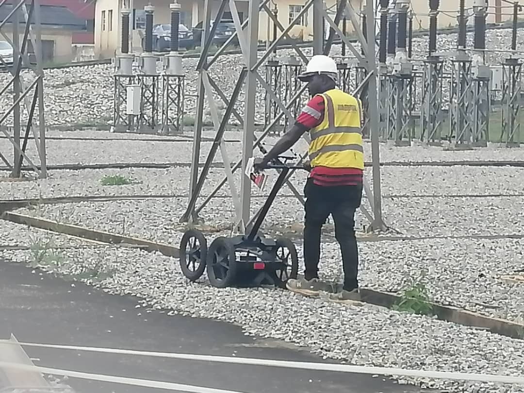
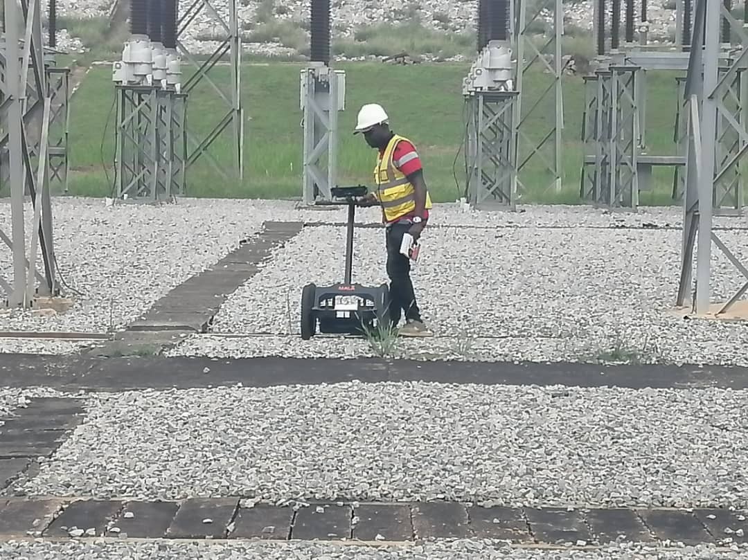
Our surveys help locate underground utilities, pipelines, cables, and buried structures before excavation or construction begins.
Hydrogeological Investigations
We assess groundwater systems, aquifer characteristics, recharge zones, and water resource potential for sustainable development projects.
Environmental Geophysics
Geophysical methods are used to investigate contamination, waste disposal sites, and environmental conditions while supporting regulatory compliance and remediation planning
Why Choose Us
Our Commitment
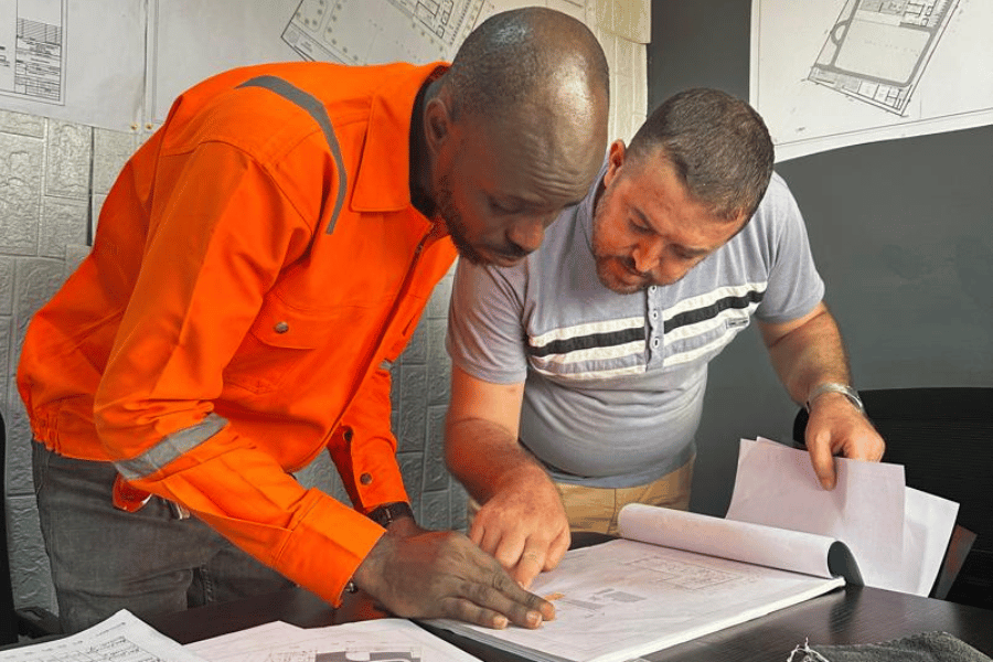
At Tamacdose Nigeria Limited, we are committed to providing innovative engineering solutions that create lasting value. Through technical expertise, quality service delivery, and a dedication to safety and sustainability, we help our clients overcome challenges and achieve project success.
We continuously strive to improve our capabilities, adopt emerging technologies, and maintain the highest standards of professionalism in every aspect of our operations.
Ready to Start Your Project?
Partner with Tamacdose Nigeria Limited for professional geotechnical engineering services that provide the foundation for successful project delivery